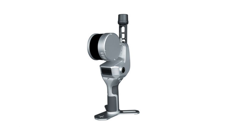
FEIMA Robotics SLAM200E-16 Handheld Laser Scanner
AU$21,900.00
Performance and Value for Money
In stock
FEIMA Robotics SLAM200E-16 Handheld Laser Scanner
Product Details
Brand: FEIMA ROBOTICS
SLAM200E Handheld Laser Scanner
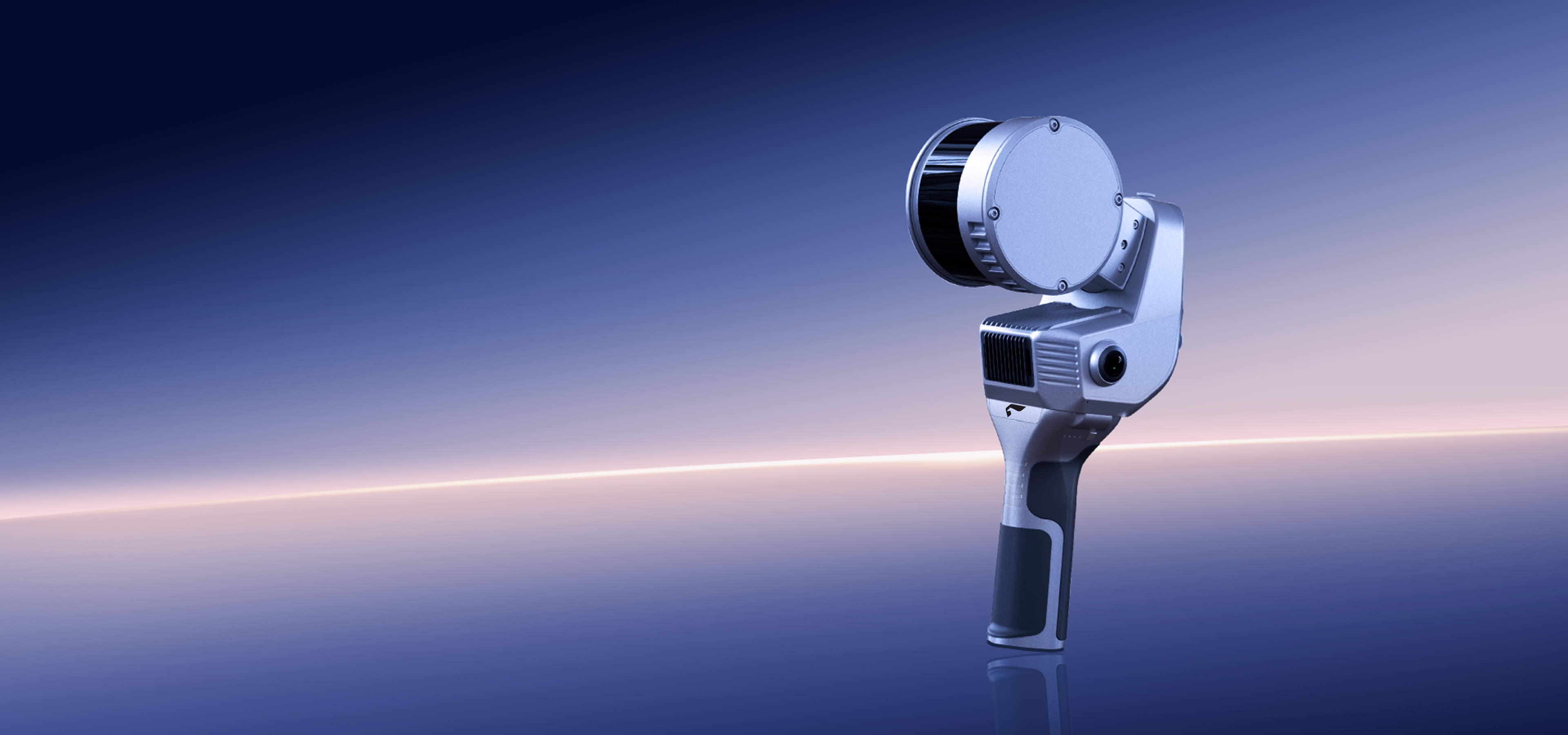
The SLAM200E is a high-precision, high-performance, and high-efficiency handheld laser scanner meticulously developed by FeimaRobotics. It combines the defining strengths of its predecessors SLAM100 and SLAM200 into a single, powerful platform. Equipped with a high-frequency LiDAR sensor, dual 12 MP panoramic cameras, a built-in high-precision GNSS module, and a high-performance onboardcomputing unit, the SLAM200E delivers a groundbreaking experience in spatial data acquisition.
As a professional-grade mobile mapping tool, the SLAM200E inherits the robust capabilities of previous generations, enabling accurate mapping even in GNSS-denied environments. Its integrated computing unit supports real-time data processing, allowing simultaneous data acquisition, mapping, and coloring. When connected to an external RTK device, it also enables real-time absolute coordinate mapping.
In addition, the SLAM200E introduces several new proprietary features developed by Feima Robotics, including: Breakpoint resume feature for interrupted scans, point cloud fusion for scan gaps, high-fidelity 3DGS reconstruction. And the all-new SLAM Instant App, which enables instant mapping upon scan completion— ideal for industry scenarios that demand rapid field reporting and enhanced operational efficiency.
SLAM Instant APP Volume Measurement Process
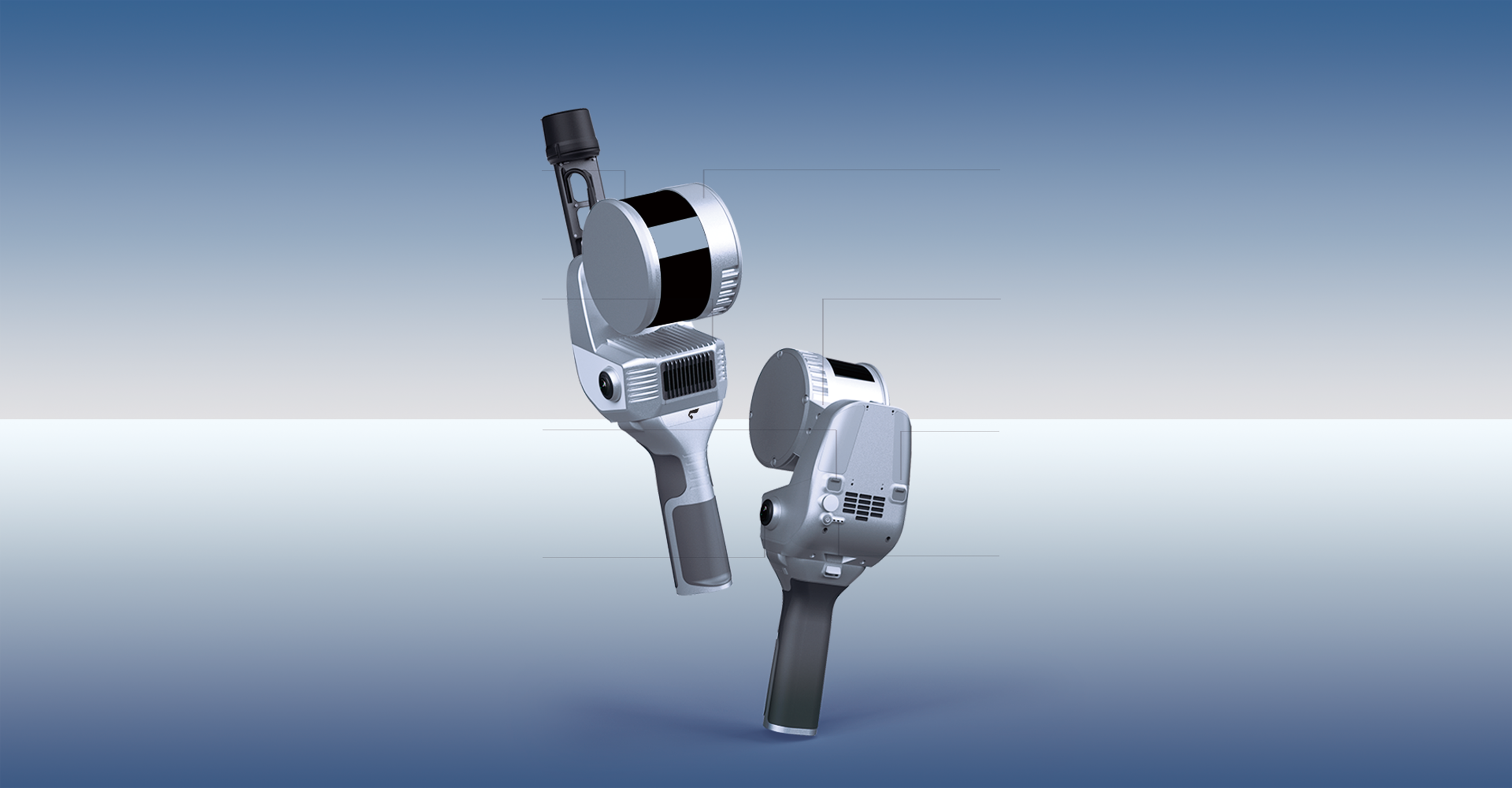
Universal Mounting Bracket
Compatible with GNSS antenna, backpack, drone-mounted, vehicle-mounted, smartphone, and chest holder
Built-in GNSS chip
Supports all constellations (including BeiDou)
TYPE-C
External power supply、OTG
Camera Sensors
12 MP × 2
Laser Sensor
120m range, 320 kpts/s (16 laser lines), 640 kpts/s (32 laser lines)
Rotating Gimbal
360° × 270° laser FOV
TYPE-C
High speed data transfer
Status Indicator
Supports operation without an APP
Ultra-High Precision Measurements within Millimeter Range
As a professional-grade high-precision mobile mapping tool, the SLAM200E supports relative accuracy of 5 mm within a 60-meter range and 1 cm within a 100-meter range. When connected to an RTK module or integrated with GCP, it can achieve absolute accuracy of up to 2 cm.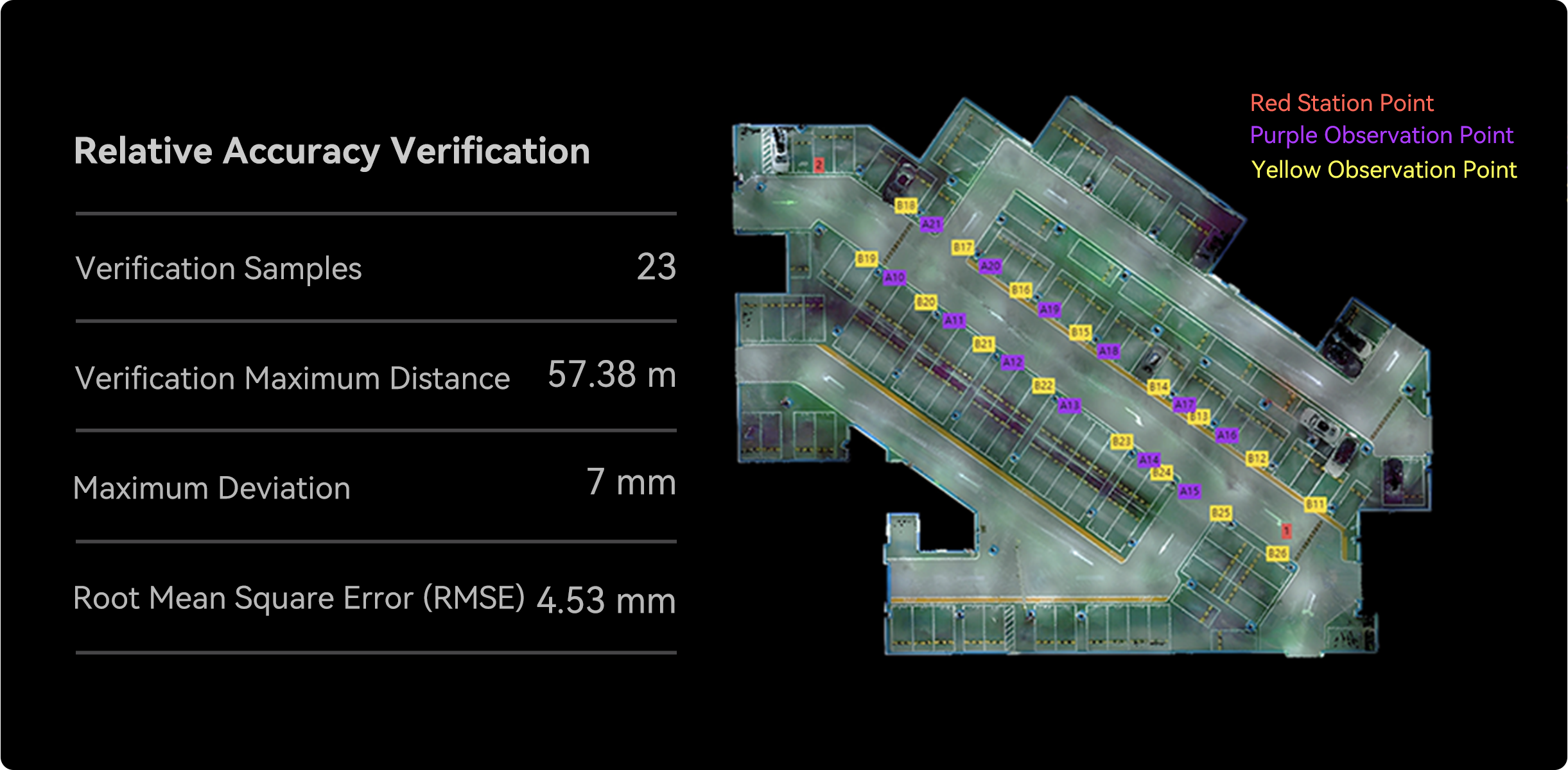
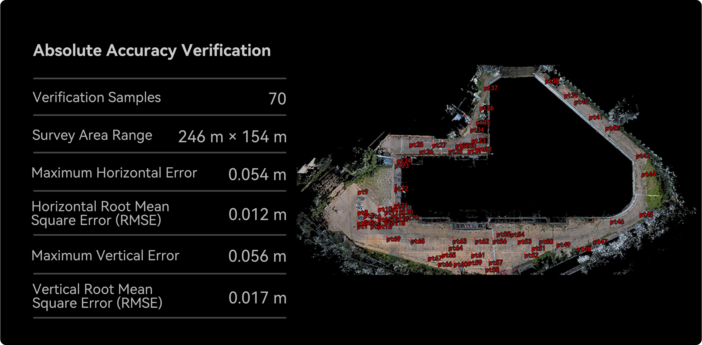
Distribution of Acquisition Points for Relative Accuracy VerificationDistribution of Control Points for Absolute Accuracy Verification
Real-Time Mapping with Absolute Reference Coordinates
The SLAM200E captures and visualizes high-precision, real-time colored point clouds, delivering intuitive and comprehensive results. When connected to RTK, it directly outputs georeferenced point clouds with absolute coordinates, significantly improving operational efficiency. It enables real-time point cloud acquisition in the vast majority of typical application scenarios, including but not limited to urban surveying, engineering monitoring, and related fields, dramatically reducing post-processing workflow cycles.
Post-processing / Real-time Colored Point CloudDetails of Real-time Point Cloud / Post-processing Point Cloud
High-Precision 3D Scene Reconstruction
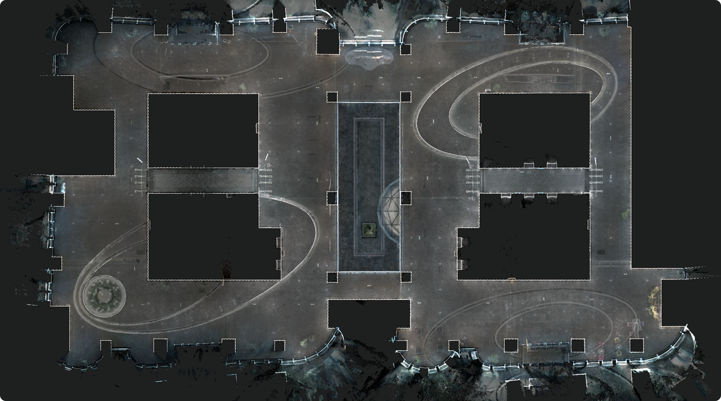
By integrating high-accuracy point clouds with high-resolution image textures, the SLAM200E faithfully recreates 3D scenes, meeting demanding 3D data acquisition requirements for applications such as digital factories, digital exhibition halls, BIM, and other scenarios requiring precision modeling.
Panoramic Camera Integration for Advanced Applications
Dual 12-megapixel panoramic cameras capture 360° wide-FOV imagery and fine-grained texture details, generating more realistic colored point clouds and panoramic images. The panoramic camera data supports operations including point cloud colorization, Visual SLAM, panorama generation, 3D mapping, and Gaussian Splatting.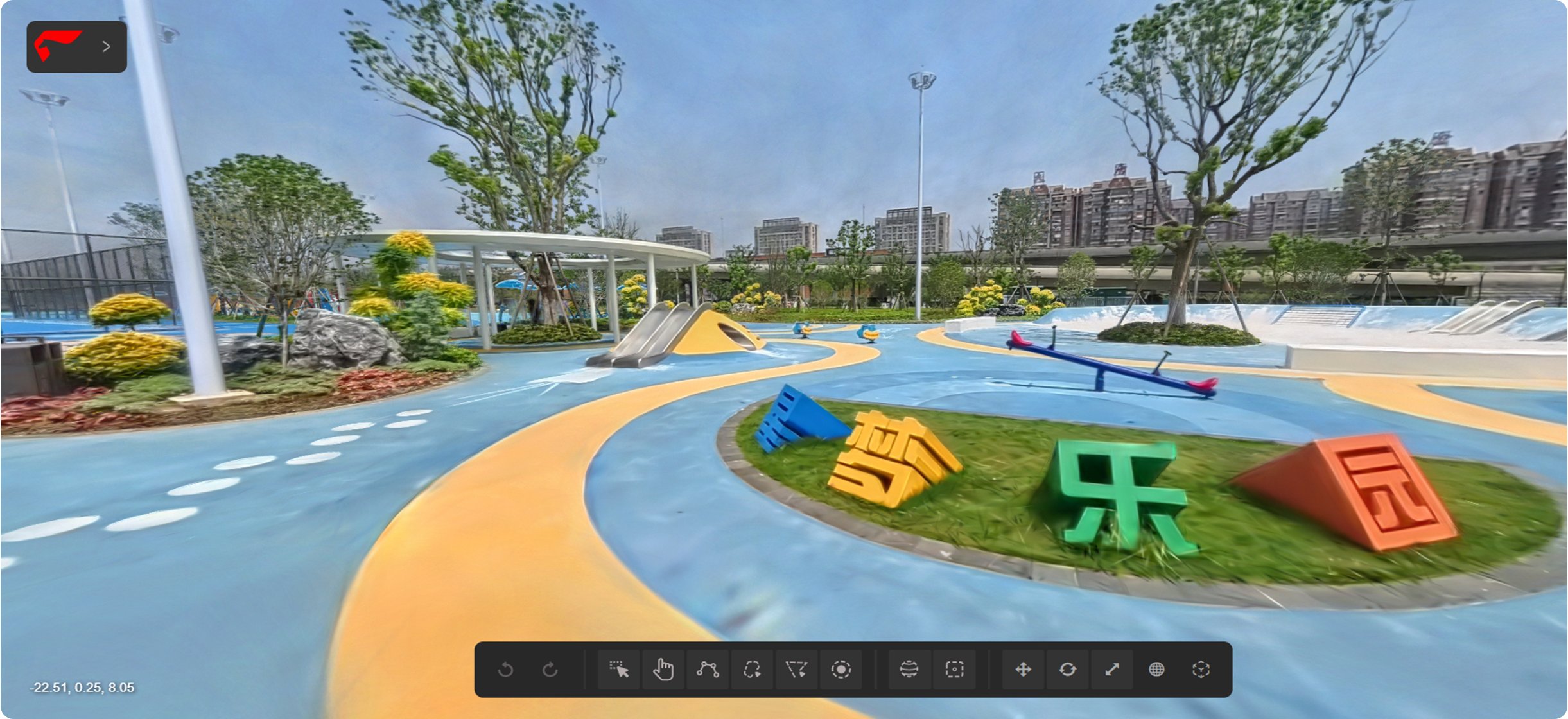
Configuration Parameters
Main body
Weight
1.6 kg(Scanner) 2.1 kg(With battery and base)
Size
404 mm x 170mm x 188mm(With battery and base)
Power consumption
26W
Storage
512G SSD
Lithium battery
SP30
Lithium battery endurance
70 min(only SLAM200E)
Operating temperature
-20°C ~ 50°C
Humidity
<95%
Protection class
IP54
Laser
Wavelength
905 nm
Laser class
Class 1
Range
0.05-120m
FOV
360°H, 270°V
Point frequency
320 kpts/s (16 laser lines version)
Point frequency
640 kpts/s (32 laser lines version)
Camera
Resolution
12 M pixel * 2
FOV
210°(Per camera)
GNSS module
Satellite system
GPS | GLONASS | GALILEO | BDS | QZSS
Positioning Accuracy(RTK)
Horizontal:0.8 cm+1ppm Vertical:1.5 cm+1ppm
High-precision IMU
Bias Instability
0.5°/h (Allan Variance @25℃)
Angle Random Walk (ARW)
0.025°/√hr
Interface
Type-C1
Charge | OTG | 20V external power
Type-C2
SSD
Wi-Fi
Supported
Bluetooth
Supported
Real-time result accuracy
Absolutely accuracy(RMSE)
3cm
Relative accuracy(RMSE)
2cm@100m
Point cloud thickness (noise)
2cm
Post-processing result accuracy
Absolutely accuracy(RMSE)
3cm
Relative accuracy(RMSE)
Handheld Mode, Control Point-Assisted Mode[1] 1cm@100m 5mm@60m
Repeat accuracy(RMSE)
2cm(Two uninterrupted RTK scans)
Point cloud thickness (noise)
0.5 cm (Point cloud planar thickness within 50 m of the odometry center)
[1] Relative accuracy: Typical test environment within 100m × 100m. In RTK mode, the relative accuracy depends on the quality of RTK data and the field environment.
You May Also Like
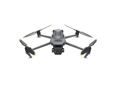

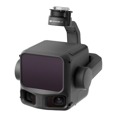
DJI Zenmuse L3 – Long-Range LiDAR & Dual 100 MP RGB Mapping Hybrid Sensor
DJI Zenmuse L3 – Long-Range LiDAR & Dual 100 MP RGB Mapping Hybrid Sensor
Powerful Value for Money LiDAR
AU$22,990.00
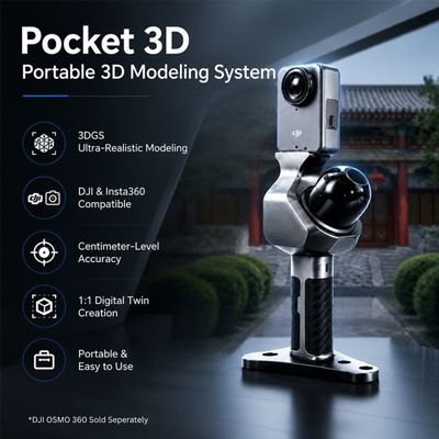
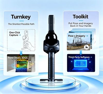
FEIMA Robotics Pocket 3D Scanner + Free SLAM Go App + Free SLAM GO PRO Software
FEIMA Robotics Pocket 3D Scanner + Free SLAM Go App + Free SLAM GO PRO Software
High Performance - Value for Money
AU$2,210.00
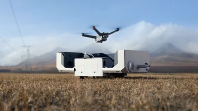
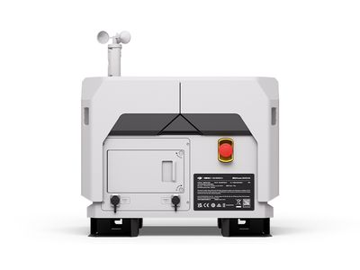
DJI Dock 2
DJI Dock 2
This revolutionary drone in a box solution completely eliminates the requirement of an on site drone operator for seamless automated operations.
AU$11,750.00
Display prices in:AUD